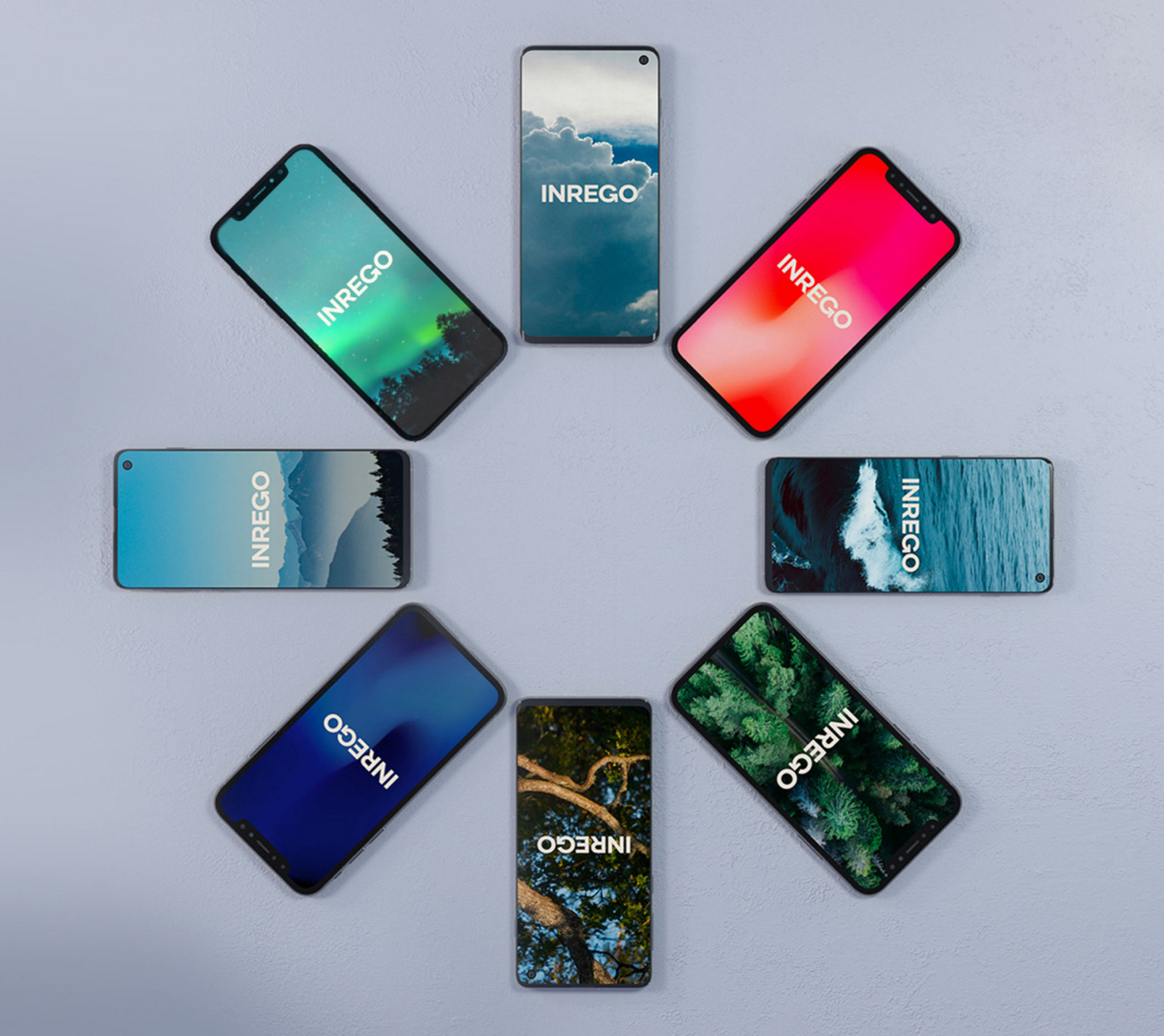
We strategize, design
and develop brilliant
digital experiences


What we do
Digital solutions
from start to finish.
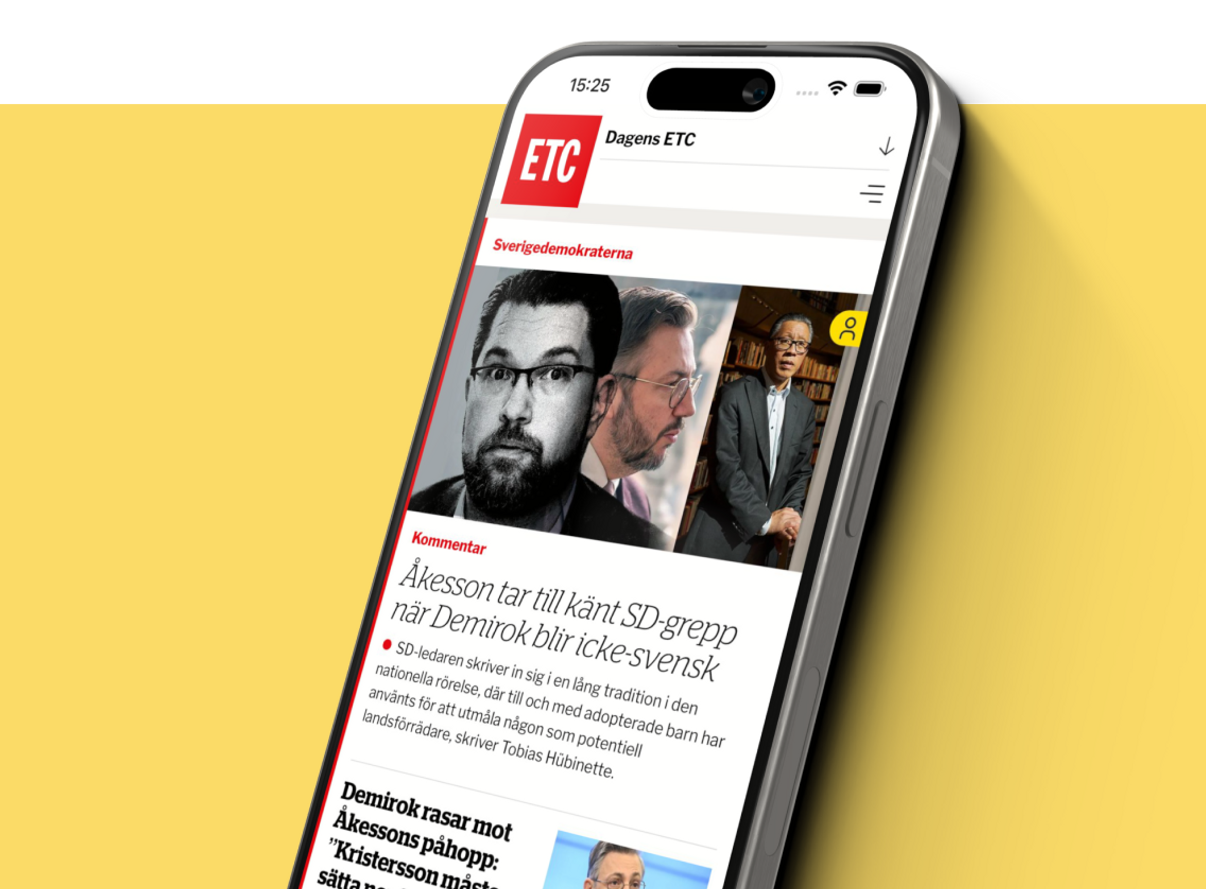
Digital solutions from start to finish. Our broad competence is all that is needed to bring your idea to life.
Every project is different.
For some clients, we serve as the entire tech department. Others just hire us for a project or two. Sometimes we get to show-off all our skills, sometimes we just do the engineering part. In short, we’re flexible.
Project-based
Fixed scope & price
Time-based
Flexible hourly billing
Retainer
Monthly commitments
Tech partner
Full-service provider
Who we work with
Our clients range from tech startups and industry employer organizations to global record labels. We’re simply not afraid to dig into new areas.


Our platform partners
We work with a variety of platforms to seamlessly integrate our digital solutions with the operations of your business.


Custom integrations
Over the years we’ve integrated with just about every software category you can imagine; property management, scheduling, warehousing, marketing automation, product information, media libraries, subscriptions, business intelligence, and more.
Who we are


We use cookies to improve your experience. Privacy policy.